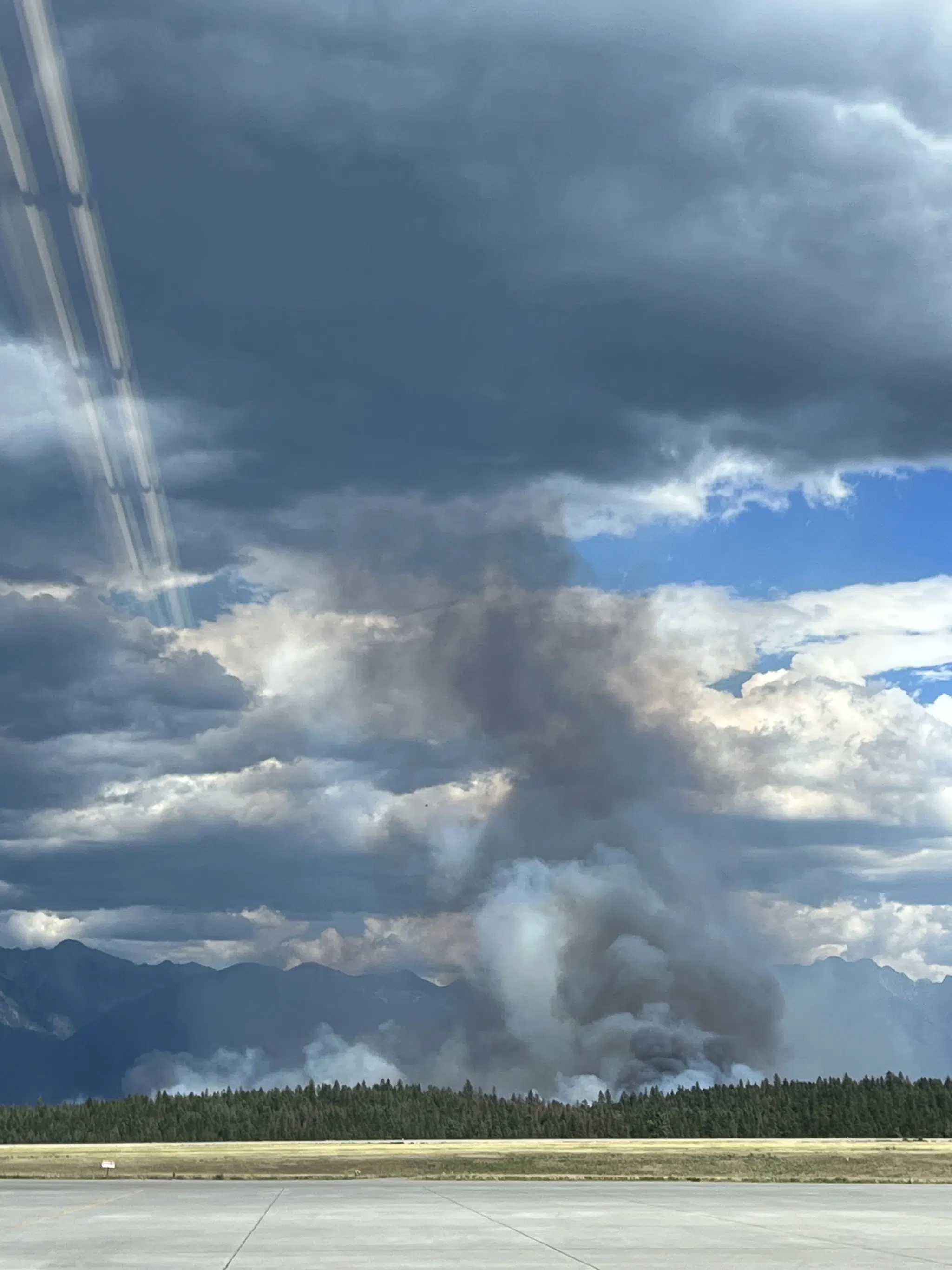
Thursday afternoon’s update from the BC Wildfire Service confirms earlier reports from the firefighting agency that the St. Mary’s River Wildfire has experienced growth to the north.
Updated mapping from the provincial wildfire agency pegs the blaze near ʔaq’am at 2,601 hectares, this following a response officer flying over the blaze Thursday to obtain an accurate track of the fire.
They say the majority of the fire’s growth was to the north and was experienced during Wednesday’s peak burning period, this was followed by reduced fire activity early Thursday due to cooler temperatures and increased humidity.
Conditions on Thursday allowed crews to conduct hand ignitions with aims of structure protection, they’re reporting no major fire activity or growth was noted in the Bummers Flats area west of the Kootenay River through the day, crews are establishing a wetline starting from the St. Mary’s River.
The wildfire continues to be actioned by 125 BC Wildfire Service members, local fire departments, heavy equipment and aerial support.
The community of ʔaq’am has upgraded one property to an Evacuation Order at 8425 LD Ranch Road. The community’s Evacuation Order covers 52 properties while 9 are on Evacuation Alert. An additional 33 properties remain on Evacuation Alert via the Regional District of East Kootenay.
Find more information on the community of ʔaq’am’s updated Evacuation Order below:
Please see this additional order. Presently there are 52 Evacuation Orders and 9 people on alert.
Posted by ʔaq̓am Community – St. Mary's Indian Band on Thursday, July 20, 2023
Find more information from the BC Wildfire Service below:
Wildfire Information
– Article includes files from BC Wildfire Service and community of ʔaq’am


